Part One: Ancient earthworks, forgotten waterways, and the incredible stories hiding in Northeast Ohio's backyard
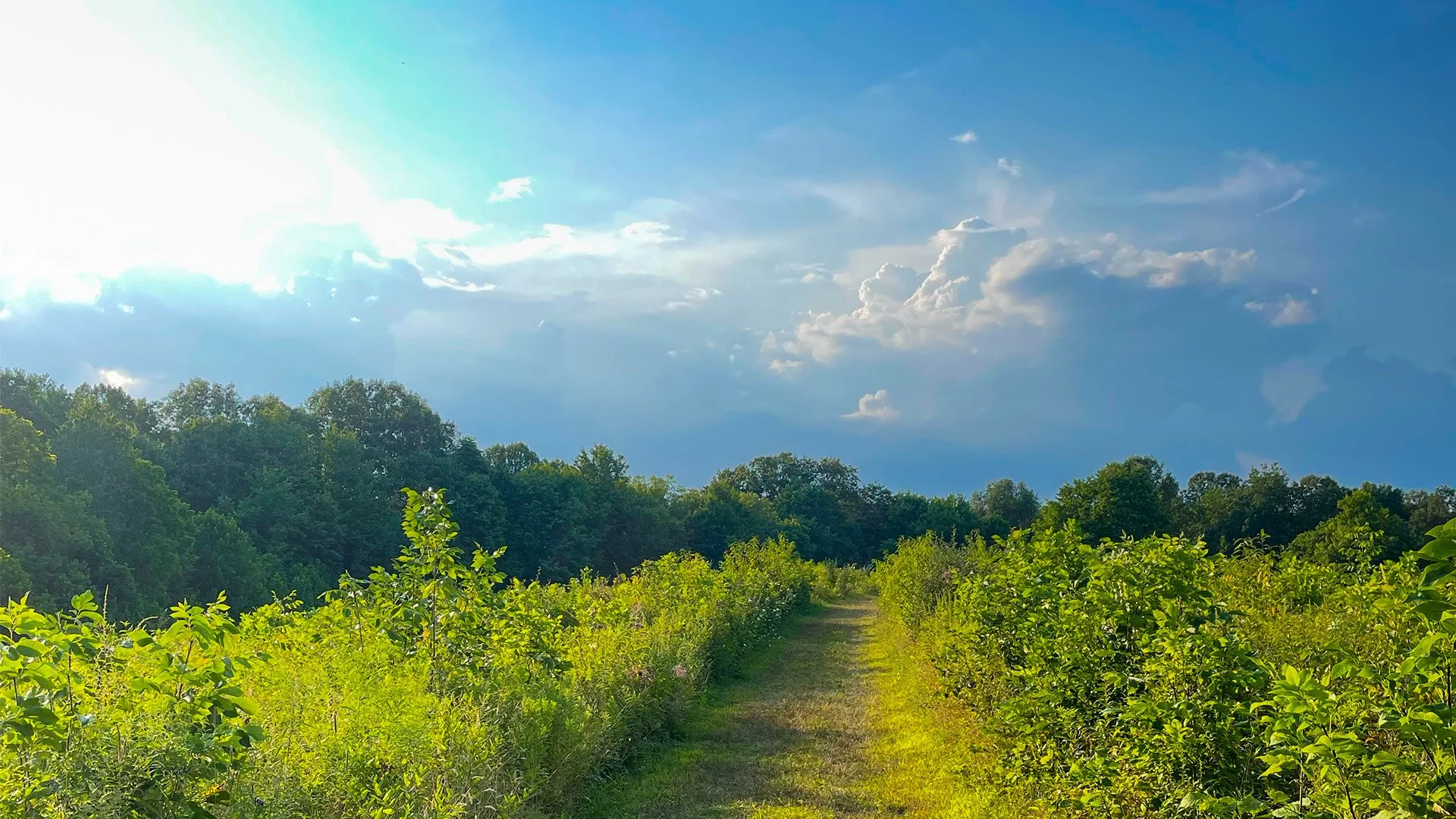
A quiet trail in Northeast Ohio’s Cuyahoga Valley National Park, where the surrounding forest can make the modern world feel surprisingly distant. Photograph by Jonathan Walter.
My dad once told me he felt like he was being watched while fishing along the Cuyahoga River. He was at Gorge Metro Park in Cuyahoga Falls, where the river passes between steep, wooded slopes and rocky outcroppings. He hadn't seen anyone lurking in the trees, nor had anything particularly unusual happened. Yet the feeling persisted, and something about the place made him uneasy.
Dad was a history buff, a geography buff, and an overall curious fella who could turn a simple fishing trip into a conversation about the people who had lived here centuries earlier. He knew the region well and appreciated its lesser-known stories.
His experience stayed with me, partly because I understood what he meant. I've spent countless hours exploring the Cuyahoga Valley, from its familiar Towpath Trail to its quieter forested reaches. There are places where the trees close in and the sounds of nearby civilization—which is surprisingly close by no matter where you are in the park—seem to disappear. A rustling branch or an unexpected movement in the undergrowth can suddenly make you conscious of how little you can actually see.
And then there are the things you can't see at all. Beneath the trails, hillsides, marshes, caves, and waterways of Northeast Ohio lies a history that stretches back thousands of years. Ancient earthworks, vanished settlements, abandoned transportation routes, and landscapes reclaimed by nature all occupy places we now visit for recreation.
I encountered many of these stories while researching my novel, The Towpath, a time-travel suspense thriller set largely within Cuyahoga Valley National Park. What began as an effort to ground a fictional story in authentic history became something more absorbing, gaining a life of its own. I discovered that some of the valley's most intriguing mysteries required very little imagination, since they were already there.
A National Park Hiding in Plain Sight
The Cuyahoga Valley National Park has always struck me as one of America's more underappreciated and unsung national parks. It doesn't possess the soaring granite cliffs of Yosemite or the otherworldly geothermal features of Yellowstone. There are no vast deserts or snowcapped mountain ranges. No skyscraper-sized trees that you can drive a car through. And perhaps because of that, it doesn't always command the same attention as its more celebrated counterparts.
But what it lacks in dramatic scale, it makes up for in accessibility, ecological variety, and an unusually layered human history.
The park occupies a corridor between Cleveland and Akron, surrounded by the communities, neighborhoods, highways, and byways of Northeast Ohio. Heck, its boundaries are anything but remote. You can leave a suburban street, drive a few minutes, and find yourself deep in a wooded river valley. Suddenly, the traffic is gone, replaced by birdsong, rushing water, swaying tree branches, and the occasional rustle of something in the underbrush.
I find that transition remarkable, even transportive. Growing up in Akron, Cuyahoga Falls, and later settling in Cleveland and then Broadview Heights, I've always regarded the valley as something close to my backyard. It’s never been far. It's a place to hike, ride my bike, photograph scenery, or simply escape the routines of everyday life. During the social-distancing times of COVID, it became my refuge. I suspect many local residents felt the same way then and still do now.
To those unfamiliar with its history, the valley became a National Recreation Area in 1974, following a sustained effort to protect its natural and cultural resources from increasing development pressures. In 2000, it was redesignated Cuyahoga Valley National Park.
Its history as a protected landscape is relatively recent, but the geography has been drawing people here for a very long time. The river offered transportation, and the forests provided resources. The hills and high ground offered places to live, gather, hunt, and observe the surrounding terrain. Later generations built canals, railroads, roads, farms, and communities across the same landscape.
Today, we enjoy the result as a national park, often without realizing how much of what surrounds us has been shaped by human hands. That, to me, is what makes the valley so interesting: It's a place where the present and the past remain unusually close together. And sometimes, walking into the forest feels a little like stepping into another century.
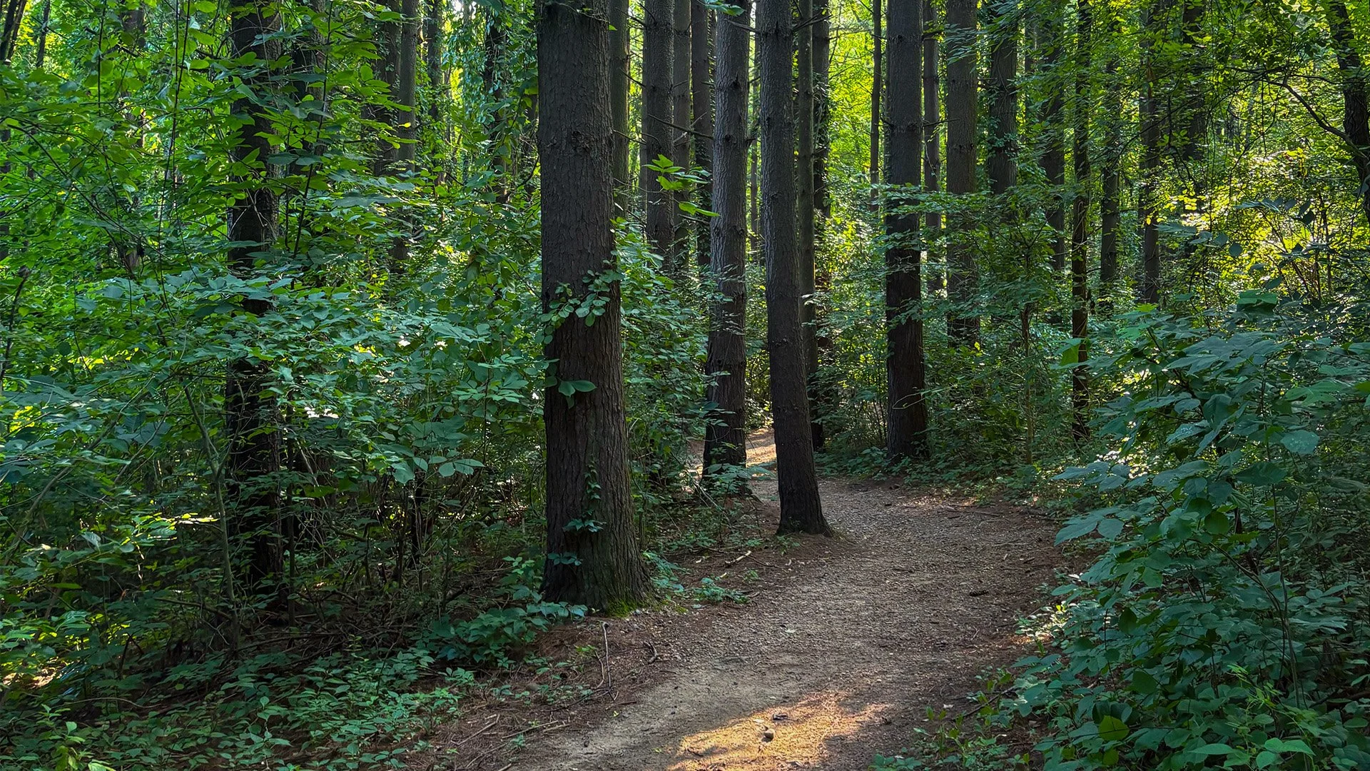
A meandering, wooded trail in the Cuyahoga Valley National Park. While the park is mere minutes from surrounding communities and neighborhoods, it still manages to provide a sense of almost otherworldly seclusion. Photograph by Jonathan Walter.
The Towpath: Where Two Waterways Converge
If there's one place that captures my affection for the valley, it's the Ohio & Erie Canal Towpath Trail, which serves as the namesake for my debut novel. I've ridden it more times than I can count, and there are stretches I know almost by heart. Some of my favorite sections are where the old canal and the Cuyahoga River draw close to the trail from opposing sides, creating a narrow causeway between two the waterways.
On one side, the river moves through the landscape, sometimes gently, sometimes with considerable force. On the other, the abandoned canal often sits motionless, some of its stretches still submerged and coated in algae and aquatic vegetation and looking like ornamental green carpet.
The contrast is striking. It's also a little unnerving when you're on a mountain bike. I've occasionally imagined what might happen if I made one unfortunate turn of the handlebars and found myself careening into one of the canal's stagnant water pools. Not exactly the kind of refreshing dip anyone hopes for on a summer afternoon.
I borrowed that particular geography for The Towpath. In one scene, protagonist Aaron Porter and his friend Simon ride through the forest as the canal and river begin closing in around them. Their surroundings become increasingly confining, contributing to a growing sense that something isn't right. I didn't have to invent the setting or its physical characteristics because I'd experienced them myself.
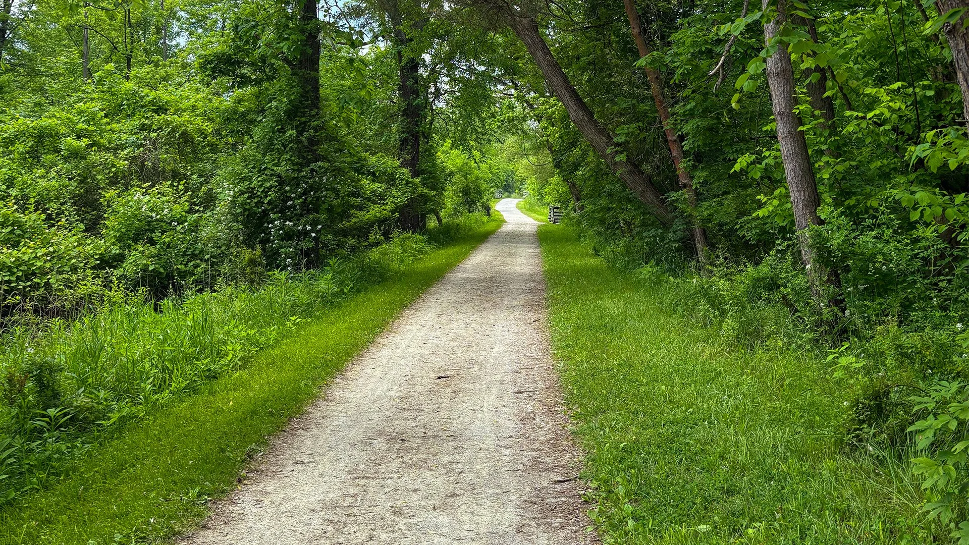
Following the footsteps of history along the Ohio & Erie Canal Towpath Trail, where nearly two centuries of stories lie just beyond the beaten path. Photograph by Jonathan Walter.
What I find equally compelling is that the trail's present-day purpose bears little resemblance to the reason it was created. Construction of the Ohio & Erie Canal began in 1825, and two years later, the section connecting Akron and Cleveland opened, thus helping transform the region's economy.
Before the canal, moving goods through Northeast Ohio could be a slow and expensive undertaking. Roads were often poor, and the Cuyahoga River was not a dependable route for commercial navigation. Not by a long shot.
The canal offered a solution: Boats carrying agricultural products, raw materials, and manufactured goods traveled along an engineered waterway, pulled by horses or mules walking the adjoining towpath. What we now experience as a leisurely bicycle ride or walk was once part of a busy commercial transportation network. The canal also helped fuel the growth of Akron, Cleveland, and smaller communities along its route.
And it remains visible today in ways that are easy to overlook. Old locks, stonework, canal basins, and sections of the abandoned waterway still occupy the valley. Some are obvious historical landmarks. Others appear almost unexpectedly, tucked into the landscape as though they've been waiting for someone to notice them.
I find myself stopping at these places more often than I used to. A weathered, dried-out canal lock may seem unremarkable at first glance, but then consider what it represents. Its stone walls were part of an enormous nineteenth-century engineering undertaking, constructed by people who could scarcely have imagined that future generations would come here primarily to walk their dogs, ride bicycles, jog or even run competitively (which includes a marathon in the Fall) and admire the scenery.
There is something humbling and fitting about all of this. The canal's builders were transforming the future of travel in Northeast Ohio, and we now travel amidst their work to enjoy the past.
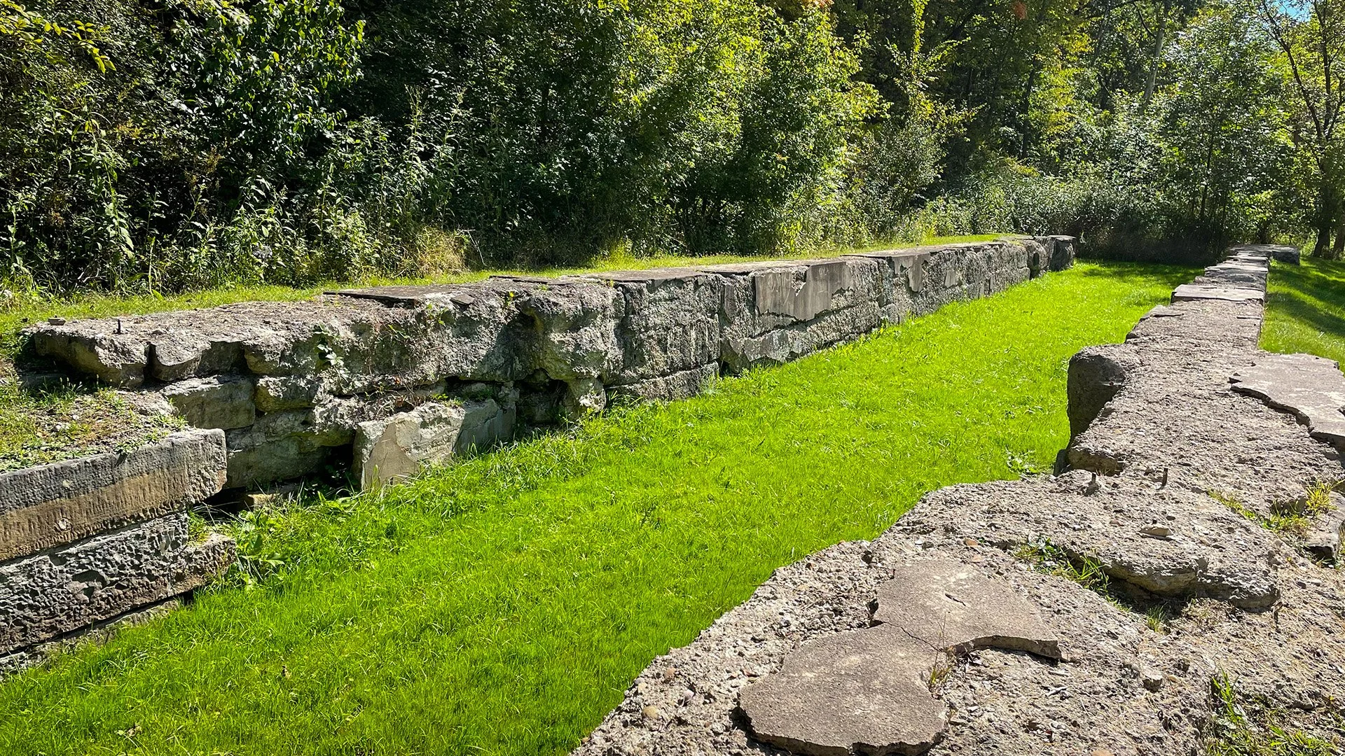
The weathered remains of an Ohio & Erie Canal lock. Structures like these reveal the industrial history beneath today's recreational landscape. Photograph by Jonathan Walter.
Before the Canal, There Was Another Transportation Network
The canal wasn't the first transportation corridor through the Cuyahoga Valley. Long before European settlement, Indigenous peoples used the region's waterways and overland routes to trade and maintain connections between communities.
The Cuyahoga River was particularly important because of its relationship to the Tuscarawas River watershed, just to the South. Near present-day Akron, travelers could cross a relatively short overland route between the two river systems, linking the Lake Erie watershed with waterways leading toward the Ohio River and, ultimately, the mighty Mississippi.
This was the Portage Path, a transportation connection of enormous geographical significance. Now, consider what that meant. Long before canal boats, locomotives, or automobiles, the region was part of a broader network of movement and exchange. People understood the landscape's possibilities and limitations, knowing where the rivers could take them and where they would need to carry their belongings overland. The canal builders later exploited some of the same geographical advantages.
And today, those of us who walk, run, or cycle the Towpath continue to travel through a corridor shaped by centuries of human movement. Sure, the purpose has changed, but the geography remains.
Here Comes the Train
There's something distinctive about hearing a train whistle in the Cuyahoga Valley. The sound can travel through the woods long before the diesel engine comes into view. Then, seemingly out of nowhere, the train emerges around a bend, moving through a landscape that feels more rural than its proximity to Cleveland, Akron, and surrounding communities would suggest.
For many visitors, the Cuyahoga Valley Scenic Railroad is a charming attraction, an opportunity to experience the park from the comfort of a passenger car. However, the railroad's history is more consequential than its present-day role might suggest. The Valley Railway began operating in 1880, connecting Cleveland and Canton (Akron smack dab in the middle) through the Cuyahoga Valley. It carried passengers, coal, farmed goods, and other freight, providing a faster alternative to the aging canal system.
Rail transportation helped accelerate the canal's decline. What had once represented the future of commerce was overtaken by another technological innovation, which feels a bit on the nose nowadays.
The interesting part is that both systems remain visible. In certain areas of the park, the Cuyahoga River, the old canal, the railroad tracks, and modern roads occupy the same relatively narrow valley corridor. Each belongs to a different period of regional development, yet all remain part of the landscape.
I used the railroad in a tense sequence in The Towpath, when the terrified young protagonists rush down a bridle trail while attempting to evade their pursuers. The approaching train becomes an unexpected obstacle and, potentially, a means of putting distance between themselves and the antagonists chasing them.
The scene depends on the physical relationship between the railroad and the surrounding trails, and I did take some liberties with the geography for the sake of the story. But what interests me beyond the fiction is how the valley has accommodated one transportation system after another…and after another.
The railroad didn't entirely erase the canal, the highways didn't erase the railroad, and the recreational trails haven't erased the earlier routes. Instead, their remnants coexist, sometimes separated by little more than a stand of trees. The next time you hear the scenic railroad's whistle, consider that you're listening to a transportation system whose roots extend back nearly a century and a half. The passengers may be sightseeing today, but the tracks tell a much older story.
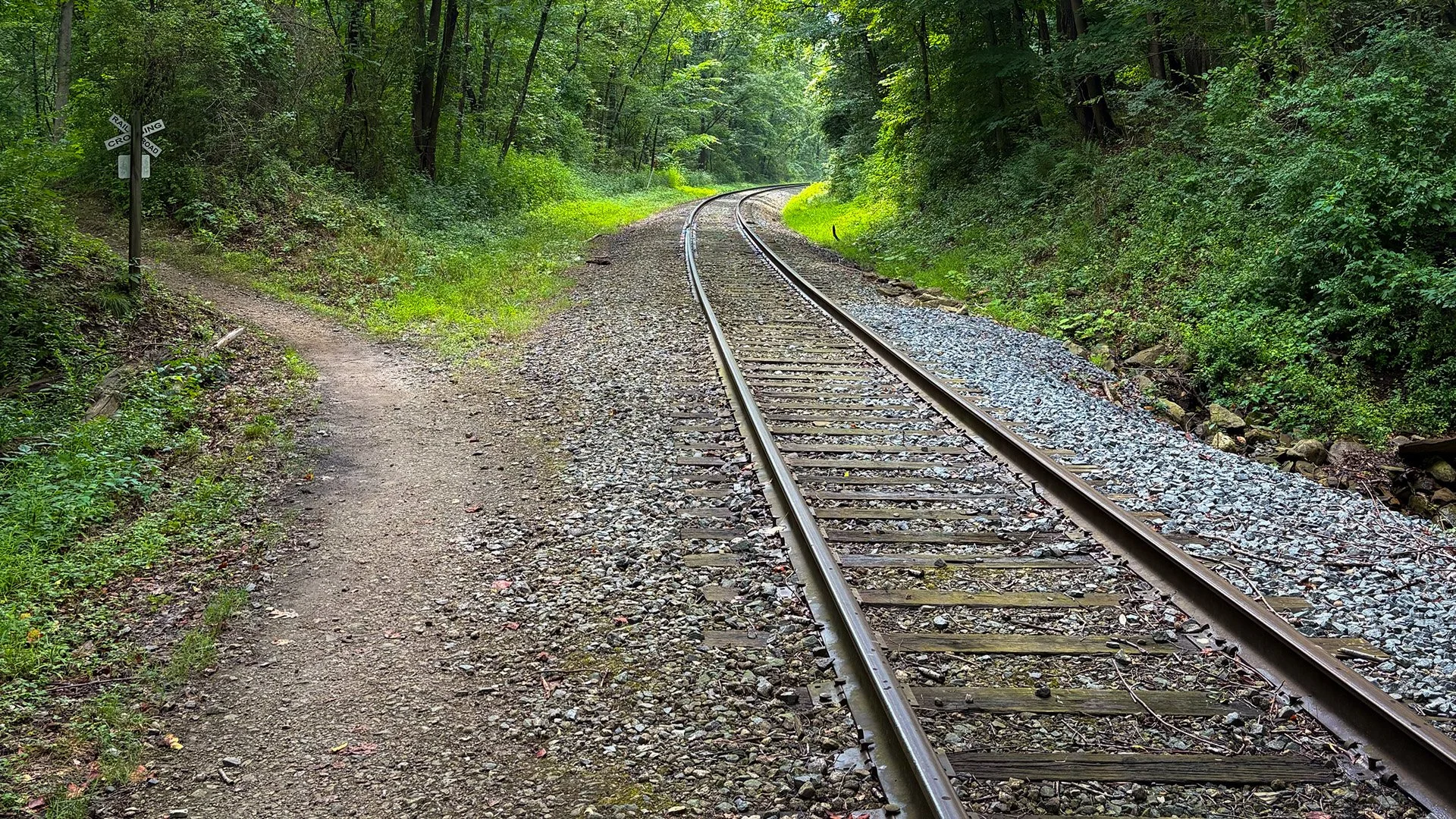
Railroad tracks curve through the forest in the Cuyahoga Valley National Park, following a transportation corridor that helped reshape Northeast Ohio. Photograph by Jonathan Walter.
The Beaver Marsh: The Redemption of a Wetland
Of all the places in Cuyahoga Valley National Park, the Beaver Marsh may offer one of the most remarkable examples of how dramatically a landscape can change. Today, visitors crossing the wooden boardwalk or taking a moment on the adjoining observation deck encounter a thriving wetland. Depending on the season, they may spot turtles surfacing, herons stalking fish, frogs croaking from the vegetation, beavers cutting through the water, and a variety of birds darting about.
It's a peaceful place, but its history is anything but that. The area was once farmland and later became an automobile salvage yard (a dump might be the more fitting description). Discarded cars, tires, and other debris littered ground that now supports an impressive variety of wildlife.
Fortunately, during the 1980s, volunteers and conservationists helped clean up the blighted property. Around the same period, beavers returned to the area after a long absence and those little dam builders began doing what they do best. Water soon accumulated, the landscape changed, dormant wetland vegetation began to return, and wildlife began to settle in again. The transformation wasn't simply a matter of humans restoring a damaged ecosystem. It was a collaboration of sorts, with conservationists removing debris and beavers reshaping the environment through their own natural behavior and instincts.
I love the distinction that nature wasn't merely some passive beneficiary of human intervention given that it participated in its own recovery. The National Park Service now recognizes the Beaver Marsh as an important wetland habitat and a celebrated example of ecological restoration.
And yet, if you didn't know its history, you might assume the marsh had always looked much as it does today, which is what makes its story so intriguing. The past is concealed not beneath centuries of accumulated soil, but beneath a living landscape that has changed within a single human lifetime. In The Towpath, the Beaver Marsh becomes the setting for a high-stakes confrontation that erupts into a chase along the Towpath Trail and into the surrounding forest. It was both, one of the most challenging scenes to write, and one of the most rewarding to have written, as it sets the story down a path to where there is no return for the protagonists—at least, no return to normalcy.
But the location also carries a quieter significance. Several of the novel's characters are wrestling with their own histories, mistakes, regrets, grief, and each long for the possibility for redemption. The marsh, a place transformed from a graveyard for cars into a thriving ecosystem, offered an almost irresistible parallel and I took full advantage of it.
It was a landscape that had reclaimed itself, and that made it a fitting place for characters confronting whether they could do the same. I don't think visitors need to know anything about the novel to appreciate the marsh's deeper significance. It's a reminder that a person, place, or thing can have a troubled past without being defined by it forever.
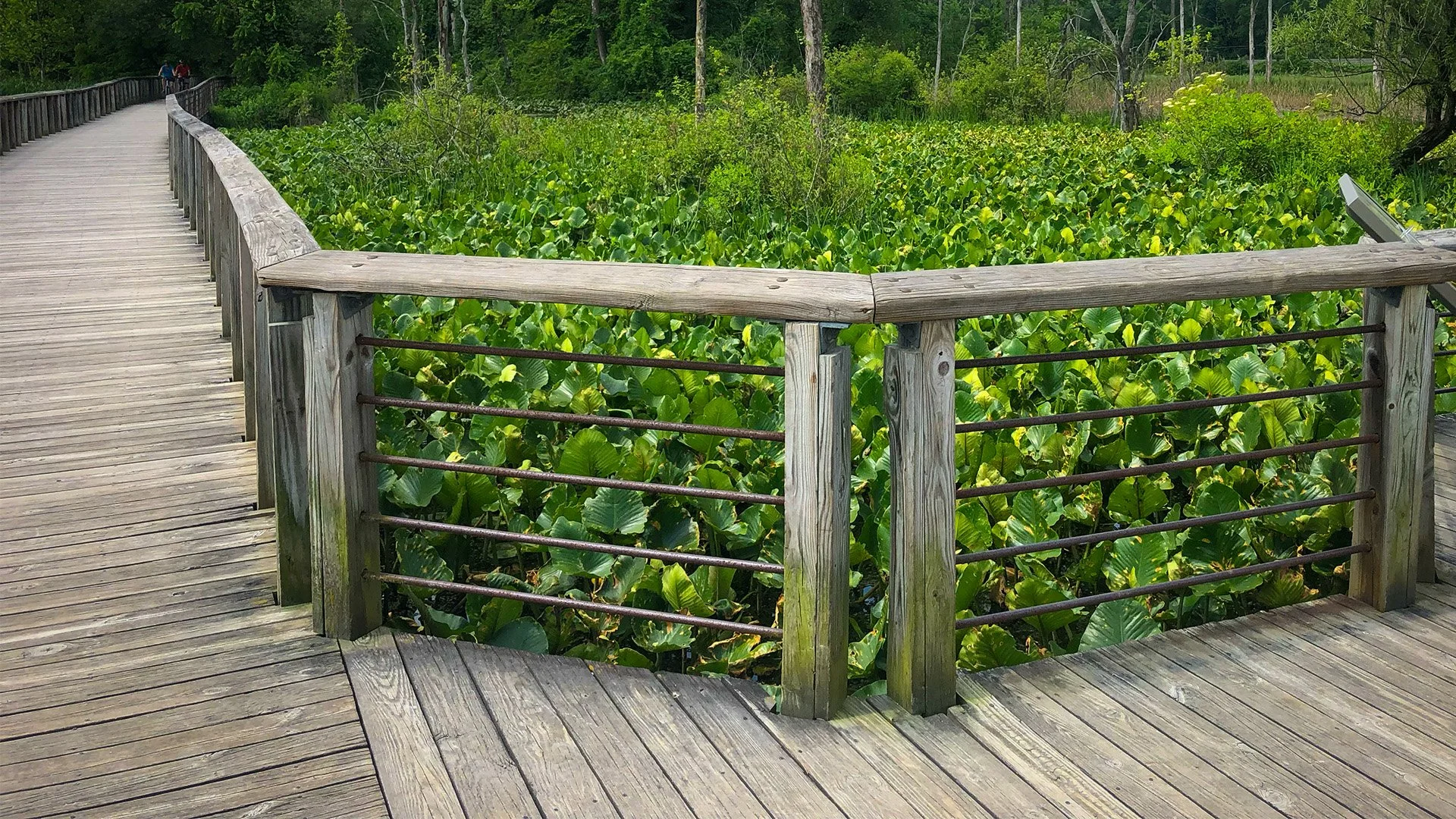
The Beaver Marsh, now a thriving wetland, occupies land once used for farming and automobile salvage. Its recovery is among the park's most important environmental stories. Photograph by Jonathan Walter.
The Ancient Earthworks Beneath Our Feet
The canal and railroad represent relatively recent chapters in the valley's history, but the story becomes much more mysterious when we look further back.
During my research for The Towpath, I became fascinated by the ancient earthworks and burial mounds documented throughout Northeast Ohio. Like many Ohioans, I knew about the Hopewell tradition and some of the amazing ceremonial earthworks found in the southern part of the state created by other mound-building civilizations. What surprised me was the extent to which ancient Indigenous communities had also shaped the landscape that was close to home, in and around the Cuyahoga Valley.
One of the most intriguing historical figures I encountered was Charles Whittlesey. A geologist, historian, and Civil War veteran, Whittlesey spent years documenting archaeological sites and geological features across Ohio. In 1871, he published Ancient Earth Forts of the Cuyahoga Valley, Ohio, a work that described ancient earthworks and other evidence of human activity in the region.
While not exactly a recreational read, the publication was still an important discovery for me. Here was a nineteenth-century researcher examining many of the same landscapes I had explored throughout my life (and still do), documenting structures that most modern visitors would never know existed, including yours truly.
Some were earthen enclosures while others were mounds or features interpreted as defensive fortresses. I found it interesting to learn that some of the defensive structures were opportunistically situated along large bends of Cuyahoga, where the occupants could gain a line of sight up and down the river, allowing them to detect threats before they could get close.
What if an Ancient Fort Wasn't a Fort at All?
Near the Old Carriage Trail in Cuyahoga Valley National Park lies the Greenwood Village earthwork, a site that Whittlesey interpreted as an ancient fortification. Its elevated location and surviving earthen walls seemed consistent with a defensive fortress even though later archaeological investigations have raised questions about that interpretation. Some suggest it was a ceremonial structure given the arrangement of the site and the presence of a stone ramp.
Evidence of sustained occupation within the enclosure was and still is pretty limited, and the National Park Service now presents Greenwood Village as a site whose original purpose remains uncertain. This is fascinating, at least for a nerd like me. It leaves us with more questions than answers. Who built it? What activities took place there? Why was that particular location even chosen? How did the people who gathered there understand the surrounding landscape?
The surviving earthworks can tell us something about their builders, but not everything. The people themselves left no written explanation that we can simply retrieve and read. Nor are there petroglyphs or markings to explain it. Instead, archaeologists must work with the limited physical evidence, compare it with other sites, and revise their interpretations as new information becomes available.
Unless you can travel through time (wink wink, nudge nudge), that process is a form of historical detective work. A reminder that even the most familiar landscape can contain unanswered questions.
The People Behind the Earthworks
The archaeological history of Northeast Ohio spans thousands of years and includes numerous Indigenous cultures and traditions. It’s a puzzle that’s slowly assembled itself the more I investigate the valley’s past.
The Hopewell tradition, associated with elaborate earthworks and far-reaching exchange networks, flourished during the Middle Woodland period, at around 100 BCE to 500 CE. Much later, communities associated with what’s become known as the Whittlesey culture occupied parts of Northeast Ohio during the Late Prehistoric period, roughly between 1000 and 1650 CE. The name is of course a modern designation, honoring Charles himself. As I’m sure you can guess, it isn't the name those communities used or chose for themselves.
These people farmed and established settlements, sometimes protected by wooden barriers. Their remains offer evidence of sophisticated communities adapted to the region's environment. But still, many questions remain about their relationships to earlier cultures and later historically documented Indigenous nations. We should be careful not to treat all of Ohio's ancient earthworks as the products of one people or one period. The region's archaeological record represents many centuries of changing communities and cultural traditions. That's what makes it so compelling.
When I began imagining the underground passages, forgotten spaces, piled artifacts, and ancient remains that appear in the last third of The Towpath, Whittlesey's work helped me think about the valley differently. No, we’re not talking evidence that secret tunnels or supernatural passages existed, which belongs entirely to fiction. It’s the historical record that shows it was a melting pot of people who came and went through this space. I began to think of it like a historical trading junction, where people contributed the remnants of their civilizations in exchange for being remembered. All of this despite their being separated by hundreds of years.
People had been building, inhabiting, transforming, and defending this landscape for a very long time. Some of their work remains visible, but much of it doesn't, and the knowledge that genuine ancient structures had once occupied these hills made the fictional possibilities feel more grounded. Heck, it also deepened my appreciation for the real history, which deserves attention independent of anything a novelist like me might imagine.
I sometimes wonder how many people walk through the park without realizing that the ground beneath them may hold evidence of lives lived centuries before the first canal boat entered the valley. Not every mound is an ancient burial site, or every unusual ridge some elaborate earthwork. While not every mystery has a dramatic explanation, some of the questions are indeed very real, and we’re still learning how to answer them.
The River Shapes All
The Cuyahoga River itself offers another reminder of how much history can accumulate in a familiar place. Its winding course has shaped the valley for thousands of years, carving bends and oxbows, floodplains, marshlands, ever-deepening gorges, and wooded corridors that continue to influence where people travel and settle.
I have a particular affection for the river around Cascade Valley Metro Park in Akron, where as a kid, I spent time there with my dad and siblings. We went fishing, and during the winter we visited a nearby hill to go sled riding. Sure, those are ordinary childhood memories, but they've remained vivid. I can still picture the wooded slopes and the river winding through the landscape. As I've grown older, I've come to appreciate how personal memories become attached to geography. After all, I still go back there to find that little has changed even though I have.
This is when a bend in the river isn't simply a feature on a map. It becomes the place where you remember standing beside your dad and brothers waiting for a fish to bite or struggling to bait a hook..
The landscape becomes part of your own history, and when you begin learning about the people who occupied those same places long before you, the sense of connection becomes even stronger, bigger somehow. You start to realize how small you really are, and that are just one more player on a stage that extends farther back than you can imagine.
The Cuyahoga River has witnessed Indigenous travel and settlement, industrial development, environmental degradation, and decades of restoration. Its course has changed over time, as rivers naturally do. Its banks have been reshaped by people and by the forces of nature. And it remains the defining geographical feature of the valley.
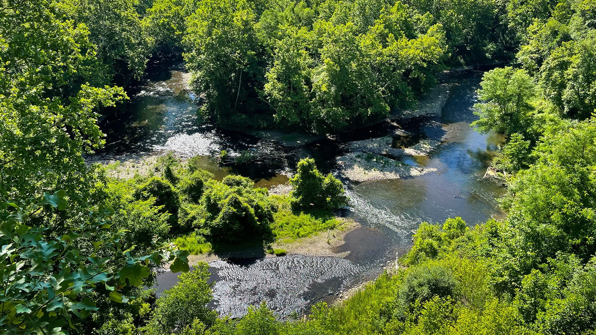
The Cuyahoga River winds through Cascade Valley Metro Park in Akron, a landscape connected to some of my earliest memories of exploring Northeast Ohio. Photograph by Jonathan Walter.
Valley of Ghosts
When I started writing The Towpath, I wanted to create a suspenseful story grounded in places I knew well. I had no shortage of inspiration, as the forests, trails, waterways, and historic landmarks provided all I needed and more. The valley's documented past supplied all the unanswered questions, mysteries, and bone-chilling legends I could ever hope for too, which will continue to fuel future novels I have in store.
But what became of the communities that occupied these hills centuries ago? Why were certain earthworks constructed? How much evidence of earlier lives has been lost to erosion, development, overgrowth, and the passage of time? How many stories remain hidden simply because we've grown accustomed to the places around us?
The more I researched, the more I came to appreciate the difference between a mystery and a legend. A legend can be entertaining, but it doesn't necessarily reveal anything about the past. A genuine historical mystery begins with evidence and acknowledges what we don't yet know. I think that distinction matters, and the Cuyahoga Valley doesn't need invented conspiracies or supernatural explanations to be fascinating (even though I am a sucker for them and will be exploring them in subsequent works).
But let’s take stock and go back to what we already know. A major transportation corridor used by Indigenous peoples eventually became the route of an ambitious nineteenth-century canal. That canal was overtaken by a railroad whose tracks still wind through the forest today. A former automobile salvage yard became a thriving wetland, thanks in part to the engineering efforts of beavers. And an ancient earthwork once interpreted as a fort may have served an entirely different purpose.
These aren't fictional developments; they're part of the valley's documented history. So, the next time you're walking the Ohio & Erie Canal Towpath Trail, crossing the Beaver Marsh, or following a wooded path near an old stone structure, consider what or who may have occupied that place before you arrived. Maybe it was a canal boat, a railroad worker, a farmer, or someone whose ancestors knew the valley long before any of those things existed.
The landscape may look peaceful today, but it has witnessed incredible change. My dad once told me he felt like he was being watched while fishing along the river. I still don't know what caused that feeling, but I think I understand why the place affected him. There's something about the valley that makes you conscious of how much lies beyond your immediate senses, and how much of its history remains beyond our understanding.
This is Part One of Traveling Through Time, an occasional series exploring the history, folklore, and lesser-known stories of Northeast Ohio. In Part Two, I'll examine the Indigenous nations that shaped the region, the story of Mary Campbell, the historic communities absorbed into Cuyahoga Valley National Park, and the unsettling folklore surrounding places such as Helltown.